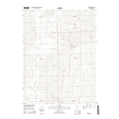
2015 Map of Linneus
USGS Topo · Published 2015About this map
Linneus and Purdin serve as the primary hubs in this central Missouri landscape, where the terrain is defined by a dense network of watercourses and agricultural drainage. The north-south flow of Locust Creek and its many tributaries, including W Locust Cr and Lick Br, dictates the layout of local rural roads like Easton Rd and Expo Rd. For family history researchers, the map identifies several distinct burial grounds, such as Dryden Cemetery, Southerland Cemetery, and Gooch Cemetery, which are preserved within the grid of section lines. The presence of the Linneus Reservoir and Number 21 Reservoir highlights the importance of water management in this region. This survey captures a moment of modern land use while retaining the underlying Public Land Survey System framework that has structured Linn County for generations.
Find a feature on this map
70 named features on this map. Tap any name to fly to it.
Don’t see what you’re looking for? This feature index may not catch every label — zoom into the map to look around manually.
Map Details
Editions of this 2015 Linneus Map
This is the sole edition of this map. No revisions or reprints were ever made.
Other maps of this area

1924 · Chula
USGS Topo · 1:62,500

1946 · Brookfield
USGS Topo · 1:62,500

1946 · Galt
USGS Topo · 1:62,500

1947 · Chula
USGS Topo · 1:62,500

1948 · Brookfield
USGS Topo · 1:62,500

1949 · Galt
USGS Topo · 1:62,500

1953 · Moberly
USGS Topo · 1:250,000

1954 · Centerville
USGS Topo · 1:250,000

1954 · Moberly
USGS Topo · 1:250,000

1957 · Moberly
USGS Topo · 1:250,000