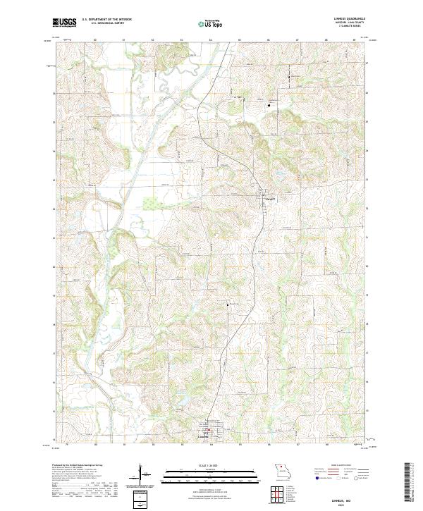
2021 Map of Linneus
USGS Topo · Published 2021About this map
The Linn County Courthouse serves as the focal point for the town of Linneus, anchoring a landscape defined by the winding course of Locust Creek and its many tributaries. This portion of North Central Missouri exhibits a pattern of upland ridges and creek bottoms, where small-scale water management is evident in features like Linneus Reservoir and Number 217 Reservoir. The rural road network connects the primary settlements of Linneus and Purdin, passing through a countryside dotted with legacy family landmarks.
Find a feature on this map
73 named features on this map. Tap any name to fly to it.
Don’t see what you’re looking for? This feature index may not catch every label — zoom into the map to look around manually.
Map Details
Editions of this 2021 Linneus Map
This is the sole edition of this map. No revisions or reprints were ever made.
Other maps of this area

1924 · Chula
USGS Topo · 1:62,500

1946 · Brookfield
USGS Topo · 1:62,500

1946 · Galt
USGS Topo · 1:62,500

1947 · Chula
USGS Topo · 1:62,500

1948 · Brookfield
USGS Topo · 1:62,500

1949 · Galt
USGS Topo · 1:62,500

1953 · Moberly
USGS Topo · 1:250,000

1954 · Centerville
USGS Topo · 1:250,000

1954 · Moberly
USGS Topo · 1:250,000

1957 · Moberly
USGS Topo · 1:250,000