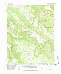
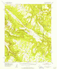
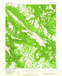
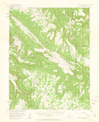
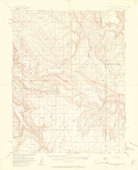
1954 Map of Lisbon Valley
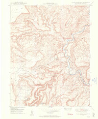
USGS Topo · Published 1983About this map
Lisbon Valley and the surrounding mesa country of San Juan County were mapped in the mid-1950s under a cooperative agreement with the Atomic Energy Commission. This specific interest in the region's geology is reflected in the numerous Prospect labels and tunnel markers scattered across the landscape, particularly near Big Indian Rock. The map illustrates a rural ranching and mining economy centered on landmarks like Patterson Ranch and Woods Ranch.
Find a feature on this map
39 named features on this map. Tap any name to fly to it.
Don’t see what you’re looking for? This feature index may not catch every label — zoom into the map to look around manually.
Map Details
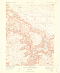
Editions of this 1954 Lisbon Valley Map
5 editions found
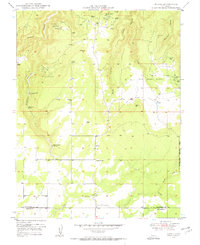
Other maps of this area

1885 · La Sal
USGS Topo · 1:250,000

1886 · Abajo
USGS Topo · 1:250,000

1892 · Abajo
USGS Topo · 1:250,000

1893 · Abajo
USGS Topo · 1:250,000

1916 · Paradox Valley
USGS Topo · 1:125,000

1922 · Paradox Valley
USGS Topo · 1:125,000
1948 · Horse Range Mesa
USGS Topo · 1:24,000

1948 · Paradox
USGS Topo · 1:24,000
1949 · Paradox
USGS Topo · 1:24,000
1949 · Egnar
USGS Topo · 1:24,000