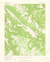
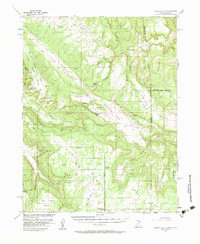
1954 Map of Lisbon Valley
USGS Topo · Published 1961About this map
Lisbon Valley sits at the heart of this mid-century survey, a landscape defined by ranching and resource extraction along the Utah-Colorado border. Conducted in cooperation with the Atomic Energy Commission, the map details the infrastructure of a working high-desert territory, including numerous shafts, tunnels, and prospects scattered through the canyons. Human presence is anchored by Woods Ranch and Patterson Ranch in the lowlands, while West Summit School serves the rural population near Summit Point. The geography is marked by massive landforms like Island Mesa and Three Step Mesa, separated by a complex network of drainages such as Coyote Wash and Big Indian Wash. Noteworthy landmarks like Big Indian Rock and the narrow passage at Lisbon Gap provide clear navigational markers for those tracing historical land use or geological interests.
Find a feature on this map
44 named features on this map. Tap any name to fly to it.
Don’t see what you’re looking for? This feature index may not catch every label — zoom into the map to look around manually.
Map Details
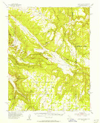
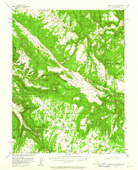
Editions of this 1954 Lisbon Valley Map
5 editions found
Other maps of this area

1885 · La Sal
USGS Topo · 1:250,000

1886 · Abajo
USGS Topo · 1:250,000

1892 · Abajo
USGS Topo · 1:250,000

1893 · Abajo
USGS Topo · 1:250,000

1916 · Paradox Valley
USGS Topo · 1:125,000

1922 · Paradox Valley
USGS Topo · 1:125,000

1948 · Horse Range Mesa
USGS Topo · 1:24,000

1948 · Paradox
USGS Topo · 1:24,000

1949 · Paradox
USGS Topo · 1:24,000

1949 · Egnar
USGS Topo · 1:24,000