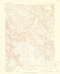
1954 Map of Lisbon Valley
USGS Topo · Published 1961About this map
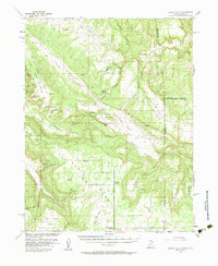
Lisbon Valley serves as the central corridor for this mid-century survey of the high desert along the Utah-Colorado border. Published in 1961 with cooperation from the Atomic Energy Commission, the map reflects a landscape defined by ranching and mineral exploration. Working cattle operations such as Woods Ranch and Patterson Ranch are established near natural landmarks like Big Indian Rock and the prominent breach of Lisbon Gap. The topography is marked by significant elevation changes, from the heights of Island Mesa and Summit Point down to the complex drainage systems of Big Indian Wash and Bullhorn Wash. Educational infrastructure is represented by the West Summit School, located along the primary Summit Road. The inclusion of various labeled prospects and shafts highlights the era’s focus on the region's geological potential, particularly in the uranium-rich sectors of San Juan County.
Find a feature on this map
55 named features on this map. Tap any name to fly to it.
Don’t see what you’re looking for? This feature index may not catch every label — zoom into the map to look around manually.
Map Details
Editions of this 1954 Lisbon Valley Map
5 editions found
Other maps of this area

1885 · La Sal
USGS Topo · 1:250,000

1886 · Abajo
USGS Topo · 1:250,000

1892 · Abajo
USGS Topo · 1:250,000

1893 · Abajo
USGS Topo · 1:250,000

1916 · Paradox Valley
USGS Topo · 1:125,000

1922 · Paradox Valley
USGS Topo · 1:125,000

1948 · Horse Range Mesa
USGS Topo · 1:24,000

1948 · Paradox
USGS Topo · 1:24,000

1949 · Paradox
USGS Topo · 1:24,000

1949 · Egnar
USGS Topo · 1:24,000