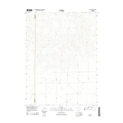
2014 Map of Lisco SE
USGS Topo · Published 2014About this map
Rush Cr carves a winding path through the dissected tablelands of the Nebraska panhandle, marking the primary drainage in this rural landscape. This 2014 survey captures the geometric precision of the section-line road network that defines land use along the border of Cheyenne County and Garden County. The terrain is characterized by intricate contouring that illustrates the erosion patterns of the High Plains, where elevation shifts dramatically away from the creek bed. While the area remains largely open rangeland, the infrastructure of local travel is well-established by a grid of numbered routes, including 9 Mile Rd, Road 36, and Road 42, which facilitate movement between the scattered ranching operations and the broader region.
Find a feature on this map
12 named features on this map. Tap any name to fly to it.
Don’t see what you’re looking for? This feature index may not catch every label — zoom into the map to look around manually.
Map Details
Editions of this 2014 Lisco SE Map
This is the sole edition of this map. No revisions or reprints were ever made.
Other maps of this area

1899 · Sidney
USGS Topo · 1:125,000

1900 · Chappell
USGS Topo · 1:125,000

1954 · Scottsbluff
USGS Topo · 1:250,000

1958 · Scottsbluff
USGS Topo · 1:250,000

1971 · Oshkosh SW
USGS Topo · 1:24,000

1971 · Coumbe Bluff
USGS Topo · 1:24,000

1971 · Chappell NW
USGS Topo · 1:24,000

1972 · Lisco NW
USGS Topo · 1:24,000

1972 · Lodgepole
USGS Topo · 1:24,000

1972 · Lisco SW
USGS Topo · 1:24,000