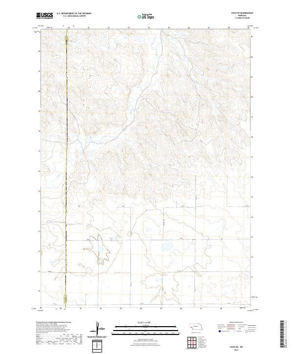
2021 Map of Lisco SE
USGS Topo · Published 2021About this map
The boundary between Cheyenne Co and Garden Co runs vertically through this rural landscape in western Nebraska. This 2021 survey shows a sparsely populated area dominated by the intermittent path of Rush Creek as it winds through the sand hills and depressions. The settlement of Abrams stands as a focal point in the southwestern section of the map, located near the intersection of several section-line roads such as Rd 36 and Rd 151. The terrain is defined by a grid of local connectors including Rd 42 and Rd 40, which navigate the subtle changes in elevation across the township lines of t16n r46w and t15n r45w. The map provides a clear picture of modern land divisions and rural infrastructure in this corner of the state.
Find a feature on this map
16 named features on this map. Tap any name to fly to it.
Don’t see what you’re looking for? This feature index may not catch every label — zoom into the map to look around manually.
Map Details
Editions of this 2021 Lisco SE Map
This is the sole edition of this map. No revisions or reprints were ever made.
Other maps of this area

1899 · Sidney
USGS Topo · 1:125,000

1900 · Chappell
USGS Topo · 1:125,000

1954 · Scottsbluff
USGS Topo · 1:250,000

1958 · Scottsbluff
USGS Topo · 1:250,000

1971 · Oshkosh SW
USGS Topo · 1:24,000

1971 · Coumbe Bluff
USGS Topo · 1:24,000

1971 · Chappell NW
USGS Topo · 1:24,000

1972 · Lisco NW
USGS Topo · 1:24,000

1972 · Lodgepole
USGS Topo · 1:24,000

1972 · Lisco SW
USGS Topo · 1:24,000