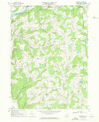
1967 Map of Litchfield
USGS Topo · Published 1971About this map
The Susquehanna River cuts through the northwest corner of this Bradford County landscape, where the Sayre Hill topography gives way to a network of upland drainages. Small rural settlements like Litchfield, Bumpville, and North Ghent are connected by a web of named backroads, including Orange Hill Rd and Campbell Rd. The presence of the Township Sch and several family or community burial grounds, such as the Orange Hill Cem and Bumpville Cem, indicates a well-established social fabric in the mid-1960s.
Find a feature on this map
45 named features on this map. Tap any name to fly to it.
Don’t see what you’re looking for? This feature index may not catch every label — zoom into the map to look around manually.
Map Details
Editions of this 1967 Litchfield Map
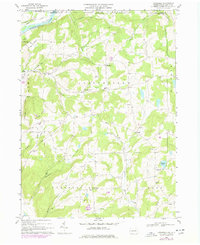
2 editions found
Other maps of this area

1902 · Waverly
USGS Topo · 1:62,500

1903 · Owego
USGS Topo · 1:62,500

1905 · Watkins Glen
USGS Topo · 1:125,000

1906 · Catatonk
USGS Topo · 1:125,000

1923 · Towanda
USGS Topo · 1:62,500

1926 · Towanda
USGS Topo · 1:62,500

1939 · Sayre
USGS Topo · 1:62,500

1942 · Sayre
USGS Topo · 1:62,500

1943 · Towanda
USGS Topo · 1:62,500

1948 · Sayre
USGS Topo · 1:62,500