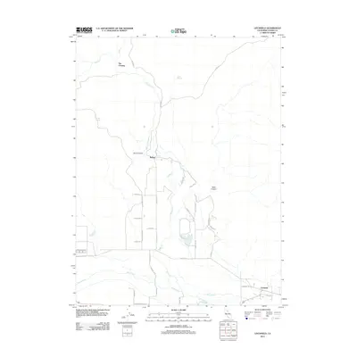
2012 Map of Litchfield
USGS Topo · Published 2012About this map
Litchfield anchors the southeastern corner of this Lassen County landscape, where the Susan River and Dill-Slough flow through the valley floor. The settlement of Belfast sits further north, positioned near the drainage of Sand Canyon and the winding course of Willow Creek. This 2012 survey illustrates a transition from the riparian corridors of the river system to the more arid uplands marked by Balls Canyon and features like The Crossing.
Find a feature on this map
34 named features on this map. Tap any name to fly to it.
Don’t see what you’re looking for? This feature index may not catch every label — zoom into the map to look around manually.
Map Details
Editions of this 2012 Litchfield Map
This is the sole edition of this map. No revisions or reprints were ever made.
Other maps of this area

1886 · Honey Lake
USGS Topo · 1:250,000

1891 · Honey Lake
USGS Topo · 1:250,000

1893 · Honey Lake
USGS Topo · 1:250,000

1954 · Susanville
USGS Topo · 1:62,500

1954 · Litchfield
USGS Topo · 1:62,500

1954 · Karlo
USGS Topo · 1:62,500

1954 · Fredonyer Peak
USGS Topo · 1:62,500

1955 · Westwood
USGS Topo · 1:250,000

1958 · Westwood
USGS Topo · 1:250,000

1959 · Westwood
USGS Topo · 1:250,000