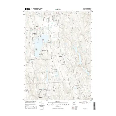
2015 Map of Litchfield
USGS Topo · Published 2015About this map
Litchfield and Bethlehem anchor this survey of the western Connecticut highlands, where the topography is defined by significant water bodies and family-named elevations. The central basin is dominated by Bantam Lake, the state’s largest natural lake, featuring Point Folly, Marsh Point, and Deer Island. Settlement patterns follow the high ground and water margins, with established centers at Bantam, Morris, and Lakeside.
Find a feature on this map
209 named features on this map. Tap any name to fly to it.
Don’t see what you’re looking for? This feature index may not catch every label — zoom into the map to look around manually.
Map Details
Editions of this 2015 Litchfield Map
This is the sole edition of this map. No revisions or reprints were ever made.
Other maps of this area

1892 · Winsted
USGS Topo · 1:62,500

1892 · Cornwall
USGS Topo · 1:62,500

1892 · New Milford
USGS Topo · 1:62,500

1893 · Waterbury
USGS Topo · 1:62,500

1893 · New Milford
USGS Topo · 1:62,500

1893 · Cornwall
USGS Topo · 1:62,500

1903 · Cornwall
USGS Topo · 1:62,500

1904 · New Milford
USGS Topo · 1:62,500

1904 · Waterbury
USGS Topo · 1:62,500

1904 · Litchfield
USGS Topo · 1:125,000