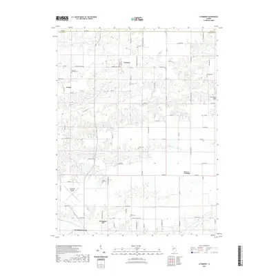
2021 Map of Literberry
USGS Topo · Published 2021About this map
Literberry and the surrounding agricultural landscape of Morgan County are detailed in this contemporary topographic record. The terrain is defined by the branching drainages of Indian Cr and Snake Cr, which carve through the plains toward the Cavanaugh Bluff area. This map is particularly valuable for genealogical research, as it identifies numerous small family and community burial grounds scattered across the countryside, including the Henderson - McFadden Cem, Rucker Cem, and Sample Cem.
Find a feature on this map
50 named features on this map. Tap any name to fly to it.
Don’t see what you’re looking for? This feature index may not catch every label — zoom into the map to look around manually.
Map Details
Editions of this 2021 Literberry Map
This is the sole edition of this map. No revisions or reprints were ever made.
Other maps of this area

1924 · Winchester
USGS Topo · 1:48,000

1926 · Winchester
USGS Topo · 1:62,500

1929 · Arenzville
USGS Topo · 1:62,500

1932 · Arenzville
USGS Topo · 1:62,500

1932 · Jacksonville
USGS Topo · 1:62,500

1932 · Virginia
USGS Topo · 1:62,500

1936 · Virginia
USGS Topo · 1:62,500

1937 · Jacksonville
USGS Topo · 1:62,500

1948 · Quincy
USGS Topo · 1:250,000

1956 · Quincy
USGS Topo · 1:250,000