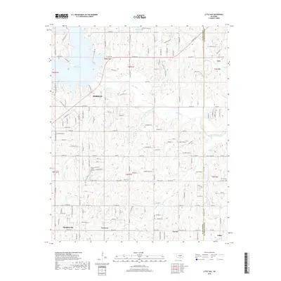
2018 Map of Little Axe
USGS Topo · Published 2018About this map
Lake Thunderbird dominates the northwestern corner of this landscape, its fingers reaching into the surrounding terrain near Little River State Park. This region, split by the boundary of Cleveland County and Pottawatomie County, is characterized by a network of creeks like Roulette Creek and Spring Creek that feed into the Little River. The map captures several small communities and historical touchpoints, including the settlements of Little Axe, Pink, Etowah, and Tribbey. Genealogists and local historians will find value in the placement of Bethel Cemetery and Mars Hill Cemetery, along with the small Hickory Hills Airport. The road network, including SE 239th Street and Alameda Drive, connects these rural outposts and residential clusters, reflecting the late 2010s development patterns east of Norman.
Find a feature on this map
88 named features on this map. Tap any name to fly to it.
Don’t see what you’re looking for? This feature index may not catch every label — zoom into the map to look around manually.
Map Details
Editions of this 2018 Little Axe Map
This is the sole edition of this map. No revisions or reprints were ever made.
Other maps of this area

1892 · Moore
USGS Topo · 1:62,500

1893 · Norman
USGS Topo · 1:62,500

1898 · Purcell
USGS Topo · 1:125,000

1910 · McComb
USGS Topo · 1:62,500

1930 · McLoud
USGS Topo · 1:62,500

1934 · Moore
USGS Topo · 1:62,500

1936 · Norman
USGS Topo · 1:62,500

1938 · Moore
USGS Topo · 1:62,500

1954 · Oklahoma City
USGS Topo · 1:250,000
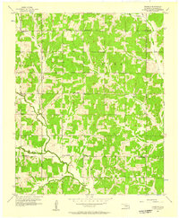
1956 · Franklin
USGS Topo · 1:24,000