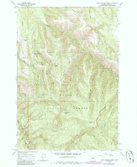
1965 Map of Little Beaver Creek
USGS Topo · Published 1985About this map
Whitman National Forest land dominates this section of the Blue Mountains, where a complex network of high ridges and deep drainages organizes the landscape south of La Grande. The topographic survey reveals a rugged interior managed for both timber and water resources, evidenced by the La Grande Watershed boundary and the Grande Ronde Guard Sta located near the Grande Ronde River.
Find a feature on this map
37 named features on this map. Tap any name to fly to it.
Don’t see what you’re looking for? This feature index may not catch every label — zoom into the map to look around manually.
Map Details
Editions of this 1965 Little Beaver Creek Map
2 editions found
Other maps of this area

1953 · Pendleton
USGS Topo · 1:250,000

1956 · Pendleton
USGS Topo · 1:250,000

1963 · Hilgard
USGS Topo · 1:24,000

1964 · Mc Intyre Creek
USGS Topo · 1:24,000

1964 · Kamela SE
USGS Topo · 1:24,000

1965 · Limber Jim Creek
USGS Topo · 1:24,000

1965 · Marley Creek
USGS Topo · 1:24,000

1965 · Anthony Butte
USGS Topo · 1:24,000

1965 · Little Beaver Creek
USGS Topo · 1:24,000
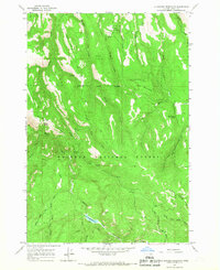
1965 · La Grande Reservoir
USGS Topo · 1:24,000