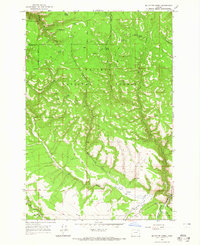
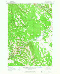
1964 Map of Mc Intyre Creek
USGS Topo · Published 1965About this map
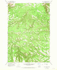
The boundary between the Umatilla National Forest and the Whitman National Forest defines this high-elevation landscape in the mid-1960s. The terrain is characterized by a dense network of drainages, most notably McIntyre Creek and McCoy Creek, which carve deep canyons through the timbered highlands. At higher elevations, the Flat Lake Lookout Tower overlooks Flat Lake and the rugged topography of Dark Canyon.
Find a feature on this map
30 named features on this map. Tap any name to fly to it.
Don’t see what you’re looking for? This feature index may not catch every label — zoom into the map to look around manually.
Map Details
Editions of this 1964 Mc Intyre Creek Map
2 editions found
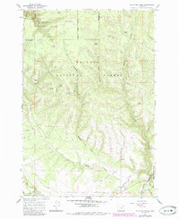
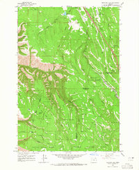
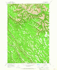
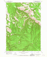
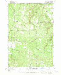
Other maps of this area

1953 · Pendleton
USGS Topo · 1:250,000

1956 · Pendleton
USGS Topo · 1:250,000
1963 · Meacham Lake
USGS Topo · 1:24,000
1964 · Huron
USGS Topo · 1:24,000
1964 · Kamela SE
USGS Topo · 1:24,000
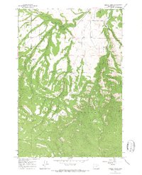
1965 · Marley Creek
USGS Topo · 1:24,000
1965 · Little Beaver Creek
USGS Topo · 1:24,000

1967 · Bassey Creek
USGS Topo · 1:24,000
1967 · Sullivan Gulch
USGS Topo · 1:24,000
1967 · Bally Mountain
USGS Topo · 1:24,000