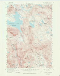
1956 Map of Little Bigelow Mtn
USGS Topo · Published 1971About this map
Flagstaff Lake dominates the western landscape of this mid-century survey, its waters reaching a Spillway Elevation of 1146 feet along the Dead River. The map illustrates a region transitioning from earlier industrial uses to a recreation-focused economy, evidenced by the numerous sporting outposts like East Carry Camps, West Carry Camps, and Sterlings Camps. The historic Old Canada Road and the Appalachian Trail traverse the ridgelines of Little Bigelow Mtn and Roundtop Mtn, marking significant transit corridors through the Somerset County wilderness.
Find a feature on this map
98 named features on this map. Tap any name to fly to it.
Don’t see what you’re looking for? This feature index may not catch every label — zoom into the map to look around manually.
Map Details
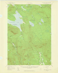
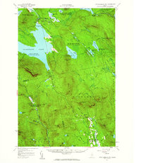
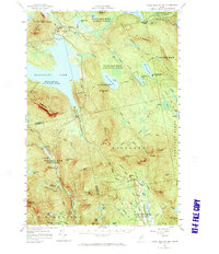
Editions of this 1956 Little Bigelow Mtn Map
4 editions found
Other maps of this area

1903 · Bingham
USGS Topo · 1:62,500

1904 · Anson
USGS Topo · 1:62,500

1905 · Bingham
USGS Topo · 1:62,500

1905 · The Forks
USGS Topo · 1:62,500

1907 · The Forks
USGS Topo · 1:62,500

1925 · Pierce Pond
USGS Topo · 1:48,000

1927 · Pierce Pond
USGS Topo · 1:62,500

1928 · Spencer
USGS Topo · 1:48,000

1928 · Dead River
USGS Topo · 1:62,500

1928 · Stratton
USGS Topo · 1:48,000
Featured Places
- Kingfield, ME
- Carrabassett Valley, ME
- Pleasant Ridge Plantation, ME
- Caratunk, ME
- Highland Plantation, ME