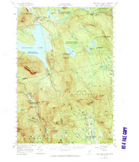
1956 Map of Little Bigelow Mtn
USGS Topo · Published 1971About this map
Flagstaff Lake and the Dead River dominate this Central Maine landscape, captured during a period when the region was defined by remote sporting camps and logging routes. The map illustrates the historic Carrying Place portage between West Carry Pond and Middle Carry Pond, a route used for centuries. Local infrastructure is sparse but notable, including the Highland Sch and the Dead River Fish Hatchery near the river's northern bend. Settlements like Sterlings Camps and East Carry Camps suggest the area's mid-century character as a destination for wilderness recreation. The Appalachian Trail winds over the peaks of Little Bigelow Mtn and Stewart Mtn, while the Old Canada Road traces a historic passage through the northeast corner, reflecting the deep layers of transit and habitation in these unorganized townships.
Find a feature on this map
95 named features on this map. Tap any name to fly to it.
Don’t see what you’re looking for? This feature index may not catch every label — zoom into the map to look around manually.
Map Details
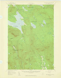
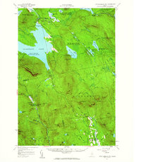
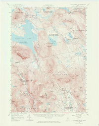
Editions of this 1956 Little Bigelow Mtn Map
4 editions found
Other maps of this area

1903 · Bingham
USGS Topo · 1:62,500

1904 · Anson
USGS Topo · 1:62,500

1905 · Bingham
USGS Topo · 1:62,500

1905 · The Forks
USGS Topo · 1:62,500

1907 · The Forks
USGS Topo · 1:62,500

1925 · Pierce Pond
USGS Topo · 1:48,000

1927 · Pierce Pond
USGS Topo · 1:62,500

1928 · Spencer
USGS Topo · 1:48,000

1928 · Dead River
USGS Topo · 1:62,500

1928 · Stratton
USGS Topo · 1:48,000
Featured Places
- Kingfield, ME
- Carrabassett Valley, ME
- Pleasant Ridge Plantation, ME
- Caratunk, ME
- Highland Plantation, ME