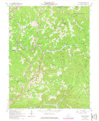
1967 Map of Little Birch
USGS Topo · Published 1977About this map
Sutton Lake and its surrounding public lands dominate the northern reaches of this territory, where the Elk River Public Hunting Area meets the rugged terrain of Bug Ridge. The landscape is defined by the winding course of the Little Birch River and its numerous tributaries, including Wolf Creek and Carpenter Fork. Small settlements like Little Birch, Tesla, and Bays are connected by narrow valley roads and occasional jeep trails that climb toward heights such as Little Birch Mtn and Pilot Knob.
Find a feature on this map
56 named features on this map. Tap any name to fly to it.
Don’t see what you’re looking for? This feature index may not catch every label — zoom into the map to look around manually.
Map Details
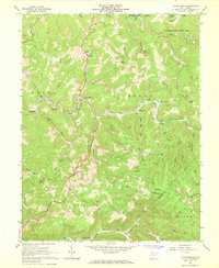
Editions of this 1967 Little Birch Map
2 editions found
Other maps of this area

1889 · Nicholas
USGS Topo · 1:125,000

1891 · Nicholas
USGS Topo · 1:125,000

1893 · Sutton
USGS Topo · 1:125,000

1901 · Nicholas
USGS Topo · 1:125,000

1908 · Gassaway
USGS Topo · 1:48,000

1908 · Sutton
USGS Topo · 1:48,000

1910 · Sutton Special
USGS Topo · 1:62,500

1910 · Gassaway
USGS Topo · 1:62,500

1913 · Summersville
USGS Topo · 1:48,000

1915 · Cowen
USGS Topo · 1:48,000