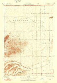
1934 Map of Little Buttes
USGS Topo · Published 1951About this map
The Antelope Buttes dominate the western landscape of this mid-century survey, rising sharply from the floor of the Antelope Valley. The map documents a period of transitioning infrastructure in the high desert, where a network of straight-line avenues, such as Avenue A through Avenue I, overlays the natural terrain of Myrick Canyon. This grid system reflects early 20th-century land division and the burgeoning development of the region near the Kern and Los Angeles County border.
Find a feature on this map
25 named features on this map. Tap any name to fly to it.
Don’t see what you’re looking for? This feature index may not catch every label — zoom into the map to look around manually.
Map Details
Editions of this 1934 Little Buttes Map
2 editions found
Other maps of this area

1915 · Elizabeth Lake
USGS Topo · 1:125,000

1917 · Elizabeth Lake
USGS Topo · 1:125,000

1931 · Little Buttes
USGS Topo · 1:24,000

1931 · Del Sur
USGS Topo · 1:24,000

1931 · Esperanza School
USGS Topo · 1:24,000

1932 · Lake
USGS Topo · 1:24,000

1932 · Hughes Lake
USGS Topo · 1:24,000

1932 · Fairmont
USGS Topo · 1:24,000

1934 · Little Buttes
USGS Topo · 1:24,000

1934 · Esperanza School
USGS Topo · 1:24,000