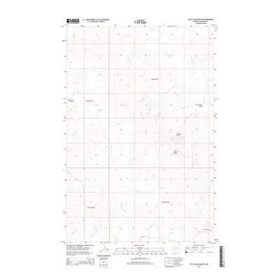
2014 Map of Little Chalk Butte
USGS Topo · Published 2014About this map
Little Chalk Butte rises as the central landmark in this high plains landscape of Garfield County, defined by a complex network of ephemeral drainages and deep coulees. The map illustrates the rugged topography of the Big Dry country, where Frozen Dog Coulee and Coal Mine Coulee cut into the breaks, reflecting the region's ranching and resource history. Water sources are scarce but critical, marked by Mud Springs and the winding paths of Crow Rock Cr and Uall Creek. Transportation is limited to remote corridors like Taylor Rd and Little Choke Butte Rd, which navigate the township lines of T14N and T13N. This 2014 survey documents the enduring physical character of the Montana plains, highlighting the isolated land features that have guided local navigation for generations.
Find a feature on this map
15 named features on this map. Tap any name to fly to it.
Don’t see what you’re looking for? This feature index may not catch every label — zoom into the map to look around manually.
Map Details
Editions of this 2014 Little Chalk Butte Map
This is the sole edition of this map. No revisions or reprints were ever made.
Other maps of this area

1954 · Jordan
USGS Topo · 1:250,000

1954 · Forsyth
USGS Topo · 1:250,000

1956 · Jordan
USGS Topo · 1:250,000

1957 · Forsyth
USGS Topo · 1:250,000

1958 · Jordan
USGS Topo · 1:250,000

1958 · Forsyth
USGS Topo · 1:250,000

1964 · Jordan
USGS Topo · 1:250,000

1965 · Rock Springs School
USGS Topo · 1:24,000

1965 · Little Chalk Butte
USGS Topo · 1:24,000

1965 · Hedstrom Lake SE
USGS Topo · 1:24,000