
1936 Map of Little Cypress
USGS Topo · Published 1936About this map
The Ohio River and Tennessee River dominate this landscape just above their confluence, as seen during this 1936 survey by the Tennessee Valley Authority. This era precedes the major dam projects that would later alter these riverbanks, showing a network of rural life defined by river landings like Upper Hodge Landing and ferry or railroad crossings such as Kennedy Crossing and Cloud Crossing. The floodplain known as Black Bottom is marked by the ancient Kincaid Mounds, illustrating a deep history of habitation long before the arrival of the Illinois Kentucky railroad line.
Find a feature on this map
75 named features on this map. Tap any name to fly to it.
Don’t see what you’re looking for? This feature index may not catch every label — zoom into the map to look around manually.
Map Details
Editions of this 1936 Little Cypress Map
This is the sole edition of this map. No revisions or reprints were ever made.
Other maps of this area

1926 · Paducah
USGS Topo · 1:62,500

1929 · Smithland
USGS Topo · 1:62,500

1929 · Paducah
USGS Topo · 1:62,500

1936 · Paducah
USGS Topo · 1:24,000

1936 · Elva
USGS Topo · 1:24,000

1936 · Smithland
USGS Topo · 1:48,000

1936 · Symsonia
USGS Topo · 1:24,000

1936 · Benton
USGS Topo · 1:48,000
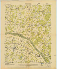
1936 · Calvert City
USGS Topo · 1:24,000
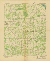
1936 · Briensburg
USGS Topo · 1:24,000