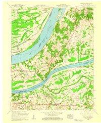
1958 Map of Little Cypress
USGS Topo · Published 1959About this map
The confluence of the Ohio River and the Tennessee River dominates this landscape, where the shifting waters once defined the complex boundaries between Kentucky and Illinois. The lowland geography of Black Bottom and numerous sloughs like Beaverdam Slough highlight a river-dependent economy in transition during the mid-1950s. Settlement patterns are concentrated near the riverbanks and along the Illinois Central railroad, with established communities like Ledbetter and the uniquely named Possum Trot serving as local hubs.
Find a feature on this map
43 named features on this map. Tap any name to fly to it.
Don’t see what you’re looking for? This feature index may not catch every label — zoom into the map to look around manually.
Map Details
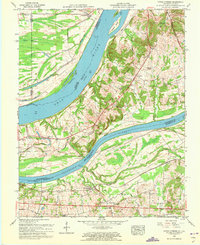
Editions of this 1958 Little Cypress Map
2 editions found
Other maps of this area

1926 · Paducah
USGS Topo · 1:62,500

1929 · Smithland
USGS Topo · 1:62,500

1929 · Paducah
USGS Topo · 1:62,500

1936 · Paducah
USGS Topo · 1:24,000

1936 · Elva
USGS Topo · 1:24,000

1936 · Smithland
USGS Topo · 1:48,000

1936 · Symsonia
USGS Topo · 1:24,000

1936 · Benton
USGS Topo · 1:48,000
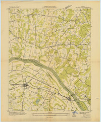
1936 · Calvert City
USGS Topo · 1:24,000

1936 · Little Cypress
USGS Topo · 1:24,000