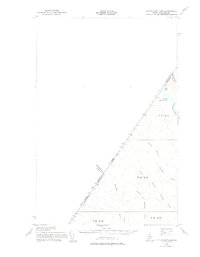
1955 Map of Little East Lake
USGS Topo · Published 1977About this map
The international boundary between Canada and the United States defines this remote section of the Maine North Woods, where the borders of Quebec and Maine meet in a series of surveyed lines. This 1955 field-checked survey reveals an uninhabited landscape dominated by hydrology and timber townships rather than settlements. The northern reaches are anchored by Little East Lake and East Lake, which feed into Pocwock Stream as it crosses into Canadian territory.
Find a feature on this map
18 named features on this map. Tap any name to fly to it.
Don’t see what you’re looking for? This feature index may not catch every label — zoom into the map to look around manually.
Map Details
Editions of this 1955 Little East Lake Map
Other maps of this area

1954 · Presque Isle
USGS Topo · 1:250,000

1955 · Rocky Mountain
USGS Topo · 1:62,500

1955 · Little East Lake
USGS Topo · 1:62,500

1955 · Round Pond
USGS Topo · 1:62,500

1955 · Rocky Brook
USGS Topo · 1:62,500

1955 · Depot Lake
USGS Topo · 1:62,500

1955 · Seven Islands
USGS Topo · 1:62,500

1958 · Presque Isle
USGS Topo · 1:250,000

1960 · Presque Isle
USGS Topo · 1:250,000

1962 · Edmundston
USGS Topo · 1:250,000