
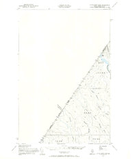
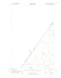
1955 Map of Little East Lake
USGS Topo · Published 1955About this map
The remote international border between Quebec and Maine defines this triangular survey, conducted shortly after the mid-century. This unorganized territory in Aroostook County is characterized by its complex network of headwaters, where the North Branch and South Branch of Fivemile Brook drain the high timberlands. Unlike the populated farming townships further south, this area remains a wilderness of named waterways and survey divisions like T 17 R 14 and T 16 R 14. The northern tip of the sheet highlights the isolated Little East Lake and East Lake, which sit directly against the Canada-United States boundary line. In this era, the landscape was largely navigated by trails and unimproved roads, serving the logging industry near Pocwock Stream and Chimenticook Stream.
Find a feature on this map
17 named features on this map. Tap any name to fly to it.
Don’t see what you’re looking for? This feature index may not catch every label — zoom into the map to look around manually.
Map Details
Editions of this 1955 Little East Lake Map
Other maps of this area

1954 · Presque Isle
USGS Topo · 1:250,000

1955 · Rocky Mountain
USGS Topo · 1:62,500

1955 · Round Pond
USGS Topo · 1:62,500

1955 · Rocky Brook
USGS Topo · 1:62,500

1955 · Depot Lake
USGS Topo · 1:62,500

1955 · Seven Islands
USGS Topo · 1:62,500

1958 · Presque Isle
USGS Topo · 1:250,000

1960 · Presque Isle
USGS Topo · 1:250,000

1962 · Edmundston
USGS Topo · 1:250,000

1976 · East Lake
USGS Topo · 1:24,000