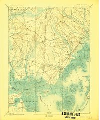
1893 Map of Little Egg Harbor
USGS Topo · Published 1914About this map
The Tuckerton Railroad cuts a diagonal path through the salt marshes and pine forests of southern New Jersey in this late 19th-century landscape. This survey reveals a coastal economy transitioning from maritime industry to railroad-accessible commerce, with hubs like Tuckerton and Manahawken serving as primary anchors. The intricate network of tidal waterways, including the Mullica River and Wading River, dictates the placement of older settlements such as New Gretna and Port Republic.
Find a feature on this map
94 named features on this map. Tap any name to fly to it.
Don’t see what you’re looking for? This feature index may not catch every label — zoom into the map to look around manually.
Map Details
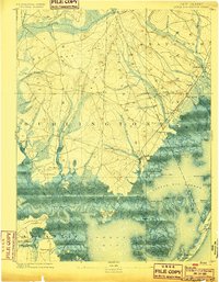
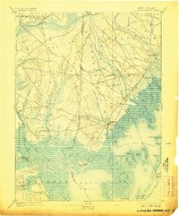
Editions of this 1893 Little Egg Harbor Map
4 editions found

Other maps of this area

1884 · Whitings
USGS Topo · 1:62,500

1887 · Atlantic City
USGS Topo · 1:62,500

1888 · Pemberton
USGS Topo · 1:62,500

1888 · Barnegat
USGS Topo · 1:62,500

1888 · Little Egg Harbor
USGS Topo · 1:62,500

1888 · Long Beach
USGS Topo · 1:62,500

1888 · Whitings
USGS Topo · 1:62,500

1890 · Great Egg Harbor
USGS Topo · 1:62,500

1890 · Mullica
USGS Topo · 1:62,500

1893 · Great Egg Harbor
USGS Topo · 1:62,500
Featured Places
- Galloway Township, NJ
- Stafford Township, NJ
- Barnegat Township, NJ
- Little Egg Harbor Township, NJ
- Tuckerton, NJ