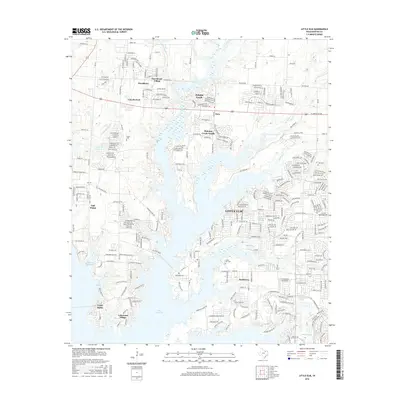
2016 Map of Little Elm
USGS Topo · Published 2016About this map
Lake Lewisville dominates the central landscape of this North Texas survey, where fingers of water define the growth of modern suburban communities and preserve pockets of local heritage. The settlement of Little Elm sits at the heart of the region, surrounded by emerging residential developments such as Paloma Creek South, Providence Village, and Lakewood Village. Amidst this rapid expansion, several historical anchors remain visible, including the Little Elm Cem and Lloyd Cem, which offer significant genealogical value for researchers of the area’s earlier agrarian period.
Find a feature on this map
284 named features on this map. Tap any name to fly to it.
Don’t see what you’re looking for? This feature index may not catch every label — zoom into the map to look around manually.
Map Details
Editions of this 2016 Little Elm Map
This is the sole edition of this map. No revisions or reprints were ever made.
Other maps of this area

1925 · Mc Kinney 3-c
USGS Topo · 1:48,000

1929 · Frisco
USGS Topo · 1:62,500

1954 · Sherman
USGS Topo · 1:250,000

1958 · Sherman
USGS Topo · 1:250,000

1960 · Frisco
USGS Topo · 1:24,000

1960 · Green Valley
USGS Topo · 1:24,000

1960 · Celina
USGS Topo · 1:24,000

1960 · Aubrey
USGS Topo · 1:24,000
1960 · Lewisville East
USGS Topo · 1:24,000
1960 · Hebron
USGS Topo · 1:24,000