
1948 Map of Little Falls
USGS Topo · Published 1973About this map
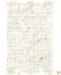
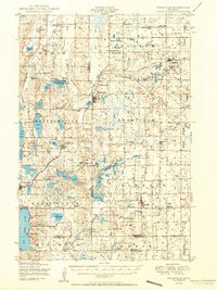
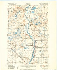
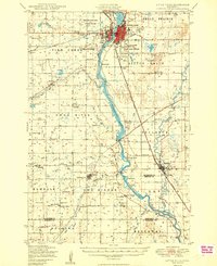
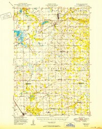
Little Falls serves as the industrial and transport hub of this Central Minnesota landscape, situated where the Mississippi River and Platte River converge near the Northern Pacific and Soo Line railroads. The map documents a dense network of rural infrastructure, featuring dozens of one-room schoolhouses like School No 54 and School No 105 scattered across townships such as Belle Prairie and Elmdale.
Find a feature on this map
88 named features on this map. Tap any name to fly to it.
Don’t see what you’re looking for? This feature index may not catch every label — zoom into the map to look around manually.
Map Details
Editions of this 1948 Little Falls Map
This is the sole edition of this map. No revisions or reprints were ever made.
Other maps of this area
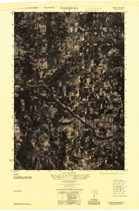
1947 · Flensburg
USGS Topo · 1:25,000

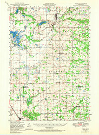
1948 · Belle Prairie
USGS Topo · 1:62,500
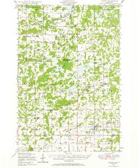
1948 · Pierz
USGS Topo · 1:62,500
1948 · Lastrup
USGS Topo · 1:62,500
1948 · Cushing
USGS Topo · 1:62,500
1950 · Lastrup
USGS Topo · 1:62,500
1950 · Swanville
USGS Topo · 1:62,500
1950 · Belle Prairie
USGS Topo · 1:62,500
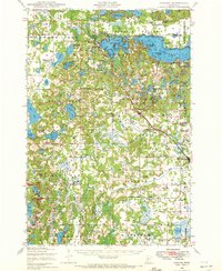
1950 · Little Falls
USGS Topo · 1:62,500
1950 · Pierz
USGS Topo · 1:62,500