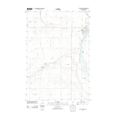
2013 Map of Little Falls West
USGS Topo · Published 2013About this map
The Mississippi River and Swan River dominate this portion of Morrison County, where the city of Little Falls meets the rural agricultural landscape to the west. The map documents a significant concentration of local history markers, including several distinct burial sites such as the Kay Burial Ground and Saint Stanislaus Church Cem near the community of Sobieski. The urban grid of Little Falls is visible on the eastern edge, featuring landmarks like the Pine Grove Zoo and a complex network of residential streets such as W Broadway and 1st Ave SW. Outside the city, the land is defined by water and woods, from the banks of Zebulon Pike Lake to the scattered wetlands of Mud Lake and Twin Lakes. This 2013 survey provides a clear view of the township's transition from riverfront industry and commerce to the quiet cemetery-dotted countryside of the Upper Mississippi region.
Find a feature on this map
75 named features on this map. Tap any name to fly to it.
Don’t see what you’re looking for? This feature index may not catch every label — zoom into the map to look around manually.
Map Details
Editions of this 2013 Little Falls West Map
This is the sole edition of this map. No revisions or reprints were ever made.
Other maps of this area

1947 · Flensburg
USGS Topo · 1:25,000

1948 · Belle Prairie
USGS Topo · 1:62,500

1948 · Cushing
USGS Topo · 1:62,500

1948 · Little Falls
USGS Topo · 1:62,500

1950 · Swanville
USGS Topo · 1:62,500

1950 · Belle Prairie
USGS Topo · 1:62,500

1950 · Little Falls
USGS Topo · 1:62,500

1950 · Cushing
USGS Topo · 1:62,500

1951 · Flensburg
USGS Topo · 1:25,000

1953 · Brainerd
USGS Topo · 1:250,000