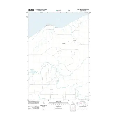
2011 Map of Little Girls Point
USGS Topo · Published 2011About this map
The southern shore of Lake Superior meets the wooded highlands of the Northwoods at Little Girls Point, where the shoreline landscape is shaped by the descent of numerous waterways toward the Great Lake. The complex drainage of the Montreal River and its many tributaries, including Mud Creek and Collins Creek, dominates the southern and central terrain. These waters flow through a landscape marked by prominent rises such as Bald Mountain and Point Mountain, which overlook a network of rural routes named for local families and early settlers, including W Saari Rd, Ohman Rd, and Eskala Rd.
Find a feature on this map
42 named features on this map. Tap any name to fly to it.
Don’t see what you’re looking for? This feature index may not catch every label — zoom into the map to look around manually.
Map Details
Editions of this 2011 Little Girls Point Map
This is the sole edition of this map. No revisions or reprints were ever made.
Other maps of this area

1940 · Upson
USGS Topo · 1:48,000

1943 · Little Girls Point
USGS Topo · 1:24,000

1943 · Upson
USGS Topo · 1:48,000

1943 · Ironwood
USGS Topo · 1:48,000

1943 · Little Girl Point
USGS Topo · 1:48,000

1953 · Ashland
USGS Topo · 1:250,000

1955 · Ironwood
USGS Topo · 1:24,000

1955 · Ironwood
USGS Topo · 1:62,500
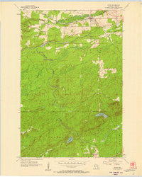
1956 · Saxon
USGS Topo · 1:24,000

1956 · North Ironwood
USGS Topo · 1:62,500