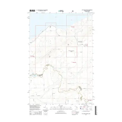
2014 Map of Little Girls Point
USGS Topo · Published 2014About this map
Lake Superior defines the northern edge of this boundary landscape where the Montreal River snakes along the state line between Iron County, Wisconsin, and Gogebic County, Michigan. The terrain rises sharply from the shore toward the interior uplands of the Ottawa National Forest, marked by prominent elevations like Bald Mtn and Point Mtn. Local roads such as Lake Rd and Powers Rd connect the coastal bluff at Little Girls Point to the interior woods. The hydrology of the region is dense with numerous small drainages like Soap Cr, Viking Cr, and Collins Cr flowing toward the lake, while the Saxon Falls Flowage indicates the managed water levels of the river system. Camp Dejacket sits as a lonely outpost of human activity amidst the heavily forested topography of the western Upper Peninsula and the northern Wisconsin borderlands.
Find a feature on this map
51 named features on this map. Tap any name to fly to it.
Don’t see what you’re looking for? This feature index may not catch every label — zoom into the map to look around manually.
Map Details
Editions of this 2014 Little Girls Point Map
This is the sole edition of this map. No revisions or reprints were ever made.
Other maps of this area

1940 · Upson
USGS Topo · 1:48,000

1943 · Little Girls Point
USGS Topo · 1:24,000

1943 · Upson
USGS Topo · 1:48,000

1943 · Ironwood
USGS Topo · 1:48,000

1943 · Little Girl Point
USGS Topo · 1:48,000

1953 · Ashland
USGS Topo · 1:250,000

1955 · Ironwood
USGS Topo · 1:24,000

1955 · Ironwood
USGS Topo · 1:62,500
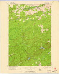
1956 · Saxon
USGS Topo · 1:24,000

1956 · North Ironwood
USGS Topo · 1:62,500