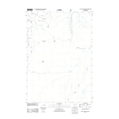
2012 Map of Little Goose Peak
USGS Topo · Published 2012About this map
Little Goose Peak rises above a high-altitude landscape defined by seasonal livestock operations and water management in the Big Horn Mountains. The presence of Gallatin Cow Camp and the winding Stockwell Pack TRL reflects a persistent ranching culture, while water management infrastructure like the Last Chance Ditch and Red Hill Ditch indicates the critical role of mountain runoff for lower-elevation agriculture. The terrain is marked by distinct landmarks such as Bosin Rock and Poverty Flat, with Little Goose Cr and its various forks carving through Black Canyon. Recreational and environmental management are evident at the Little Goose Campground and protected areas like Kinney Wood Park and Penrose Park. This 2012 survey documents the region's complex drainage network, including N Piney Cr and E Fork Davis Cr, which supports both local ecology and human enterprise.
Find a feature on this map
28 named features on this map. Tap any name to fly to it.
Don’t see what you’re looking for? This feature index may not catch every label — zoom into the map to look around manually.
Map Details
Editions of this 2012 Little Goose Peak Map
This is the sole edition of this map. No revisions or reprints were ever made.
Other maps of this area

1895 · Dayton
USGS Topo · 1:125,000

1899 · Cloud peak
USGS Topo · 1:125,000

1900 · Fort McKinney
USGS Topo · 1:125,000

1901 · Cloud Peak
USGS Topo · 1:125,000

1901 · Dayton
USGS Topo · 1:125,000

1903 · Fort McKinney
USGS Topo · 1:125,000

1909 · Sheridan
USGS Topo · 1:125,000

1911 · Sheridan
USGS Topo · 1:125,000

1955 · Sheridan
USGS Topo · 1:250,000

1958 · Sheridan
USGS Topo · 1:250,000