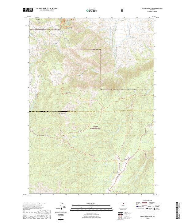
2021 Map of Little Goose Peak
USGS Topo · Published 2021About this map
Bighorn National Forest serves as the backdrop for this high-country landscape along the Sheridan and Johnson county line. The terrain is defined by dramatic elevations, from the summit of Little Goose Peak to the steep descent into Black Canyon. The presence of water-management features like Last Chance Ditch and Red Hill Ditch among the natural drainages of Little Goose Creek and North Piney Creek indicates the long-standing importance of high-altitude water rights and irrigation to the surrounding basins. A dense network of trails and tracks, including the Kenny Wood Trail and the Story Penrose Trail, traverses the timbered slopes. Notable landmarks like Bosin Rock and Red Grade Spring provide specific orientation points for those tracing the historical movement across this portion of the range.
Find a feature on this map
43 named features on this map. Tap any name to fly to it.
Don’t see what you’re looking for? This feature index may not catch every label — zoom into the map to look around manually.
Map Details
Editions of this 2021 Little Goose Peak Map
This is the sole edition of this map. No revisions or reprints were ever made.
Other maps of this area

1895 · Dayton
USGS Topo · 1:125,000

1899 · Cloud peak
USGS Topo · 1:125,000

1900 · Fort McKinney
USGS Topo · 1:125,000

1901 · Cloud Peak
USGS Topo · 1:125,000

1901 · Dayton
USGS Topo · 1:125,000

1903 · Fort McKinney
USGS Topo · 1:125,000

1909 · Sheridan
USGS Topo · 1:125,000

1911 · Sheridan
USGS Topo · 1:125,000

1955 · Sheridan
USGS Topo · 1:250,000

1958 · Sheridan
USGS Topo · 1:250,000