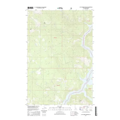
2017 Map of Little Green Mountain
USGS Topo · Published 2017About this map
Little Green Mountain and Jericho Mtn dominate this high-relief landscape in Clearwater County, where steep drainages flow toward the expanding reach of the Dworshak Reservoir. This 2017 study illustrates the complex network of mountain streams, including Cranberry Cr, Meadow Cr, and Pick and Pan Cr, which carve through the dense forest towards the reservoir's eastern finger. The topographic detail reveals the intricate ridgeline system culminating at Bartlett Point in the south. The mapping focuses on the physical geography and hydrology of the region, illustrating how the man-made reservoir has reshaped the lower elevations of traditional creek beds like Bishop Cr and Duffy Cr. It serves as a modern record of this unpopulated timber and watershed area, showing the land as it exists decades after the completion of the Dworshak Dam project downstream.
Find a feature on this map
23 named features on this map. Tap any name to fly to it.
Don’t see what you’re looking for? This feature index may not catch every label — zoom into the map to look around manually.
Map Details
Editions of this 2017 Little Green Mountain Map
This is the sole edition of this map. No revisions or reprints were ever made.
Other maps of this area

1923 · Washington Creek
USGS Topo · 1:125,000

1936 · Boehls Butte
USGS Topo · 1:48,000

1938 · Headquarters
USGS Topo · 1:48,000

1943 · Boehls Butte
USGS Topo · 1:62,500

1944 · Headquarters
USGS Topo · 1:62,500

1955 · Pullman
USGS Topo · 1:250,000

1956 · Hamilton
USGS Topo · 1:250,000

1958 · Pullman
USGS Topo · 1:250,000

1959 · Hamilton
USGS Topo · 1:250,000

1960 · Hamilton
USGS Topo · 1:250,000