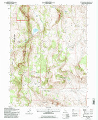
1993 Map of Little Hat Mtn.
USGS Topo · Published 1996About this map
Warner Mountains geography dominates this 1993 revision, showcasing a landscape defined by volcanic features and high-altitude valleys in the northeast corner of California. The rugged topography is marked by the presence of Lava Slides and the peak of Little Hat Mtn, which towers over the surrounding terrain. Human activity is evidenced by scattered homesteads like the Old Marr Ranch and Old Millsap Ranch, alongside resource sites such as a Gravel Pit in Upper Tuledad Valley. Water is a critical and concentrated resource in this environment, represented by Newland Reservoir 5822 and numerous named springs, including Mahogany Springs and Runyan Springs. The network of 4wd tracks suggests a remote working landscape within the Modoc National Forest, where drainage systems like Bare Creek and Post Canyon carve through the high country.
Find a feature on this map
36 named features on this map. Tap any name to fly to it.
Don’t see what you’re looking for? This feature index may not catch every label — zoom into the map to look around manually.
Map Details
Editions of this 1993 Little Hat Mtn. Map
2 editions found
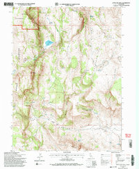
Other maps of this area

1886 · Alturas
USGS Topo · 1:250,000

1886 · Honey Lake
USGS Topo · 1:250,000

1886 · Granite Range
USGS Topo · 1:250,000

1889 · Long Valley
USGS Topo · 1:250,000

1891 · Honey Lake
USGS Topo · 1:250,000

1892 · Alturas
USGS Topo · 1:250,000

1893 · Honey Lake
USGS Topo · 1:250,000

1894 · Granite Range
USGS Topo · 1:250,000

1954 · Observation Peak
USGS Topo · 1:62,500

1954 · Vya
USGS Topo · 1:250,000