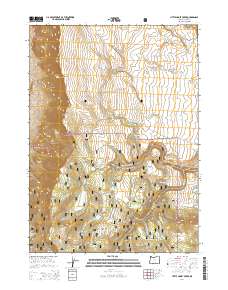
2014 Map of Little Honey Creek
USGS Topo · Published 2014About this map
The Abert Rim escarpment dominates the western edge of this Lake County landscape, marking a dramatic geological transition within the Fremont National Forest. This high desert terrain is defined by its complex hydrology, where numerous seasonal and perennial water sources like Colvin Crk and Clover Cr provide vital moisture to the arid environment. The map details an intricate network of springs, including Priday Spring, Blue Spring, and Yee Springs, which historically served as critical waypoints for both wildlife and human travel through the interior.
Find a feature on this map
33 named features on this map. Tap any name to fly to it.
Don’t see what you’re looking for? This feature index may not catch every label — zoom into the map to look around manually.
Map Details
Editions of this 2014 Little Honey Creek Map
This is the sole edition of this map. No revisions or reprints were ever made.
Other maps of this area

1955 · Klamath Falls
USGS Topo · 1:250,000

1958 · Klamath Falls
USGS Topo · 1:250,000

1964 · Crooked Creek Valley
USGS Topo · 1:24,000

1964 · Valley Falls
USGS Topo · 1:24,000

1966 · Coglan Buttes SE
USGS Topo · 1:24,000

1968 · Crook Peak
USGS Topo · 1:24,000
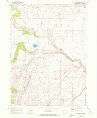
1968 · Drake Peak NE
USGS Topo · 1:24,000

1968 · Lake Abert South
USGS Topo · 1:24,000
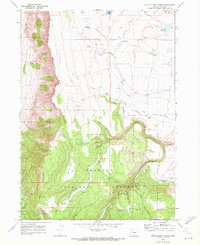
1968 · Little Honey Creek
USGS Topo · 1:24,000
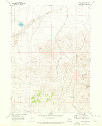
1968 · Cooper Draw
USGS Topo · 1:24,000