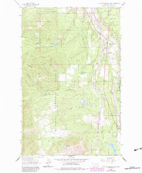
1963 Map of Little Hoodoo Mountain
USGS Topo · Published 1984About this map
Kootenai National Forest dominates this mountain landscape in Lincoln County, where steep drainages and mining history converge. The terrain is defined by prominent rises like Prospect Hill and Shaughnessy Hill, leading south to the namesake Little Hoodoo Mountain. Human activity is concentrated along the valleys of Libby Creek and Big Cherry Creek, where the small settlements of White Haven and Pioneer Junction sit near the Mc Grade Sch.
Find a feature on this map
28 named features on this map. Tap any name to fly to it.
Don’t see what you’re looking for? This feature index may not catch every label — zoom into the map to look around manually.
Map Details
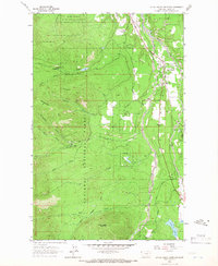
Editions of this 1963 Little Hoodoo Mountain Map
2 editions found
Other maps of this area

1920 · Libby
USGS Topo · 1:125,000

1920 · Jennings
USGS Topo · 1:125,000

1930 · Libby
USGS Topo · 1:125,000

1932 · Libby
USGS Topo · 1:125,000

1935 · Thompson Lakes
USGS Topo · 1:96,000

1942 · Thompson Lakes
USGS Topo · 1:125,000

1957 · Kalispell
USGS Topo · 1:250,000

1960 · Kalispell
USGS Topo · 1:250,000

1961 · Kalispell
USGS Topo · 1:250,000

1963 · Scenery Mountain
USGS Topo · 1:24,000