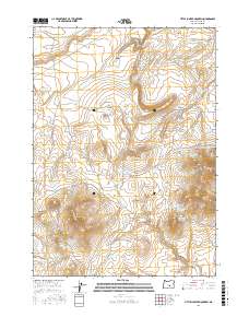
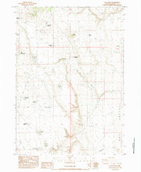
2017 Map of Little Juniper Mountain
USGS Topo · Published 2017About this map
Little Juniper Mountain anchors a high desert landscape defined by a sophisticated network of water management features in this remote section of Harney County. The terrain is marked by seasonal drainages and canyons, including Little Tank Canyon and Stormy Draw, which feed a series of specialized catchments. These small bodies of water, such as Linahan Lake, Links Lake, and the aptly named Settlement Reservoir, suggest the region's reliance on managed water for livestock and local use.
Find a feature on this map
42 named features on this map. Tap any name to fly to it.
Don’t see what you’re looking for? This feature index may not catch every label — zoom into the map to look around manually.
Map Details
Editions of this 2017 Little Juniper Mountain Map
This is the sole edition of this map. No revisions or reprints were ever made.
Other maps of this area

1955 · Burns
USGS Topo · 1:250,000

1958 · Burns
USGS Topo · 1:250,000

1959 · Burns
USGS Topo · 1:250,000

1980 · Wagontire Mtn West
USGS Topo · 1:24,000

1980 · Alec Butte
USGS Topo · 1:24,000

1980 · Wagontire Mtn East
USGS Topo · 1:24,000
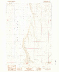
1984 · Dry Valley Rim
USGS Topo · 1:24,000
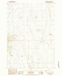
1984 · Goose Egg Butte
USGS Topo · 1:24,000
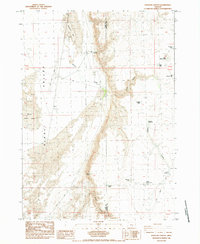
1984 · Venator Canyon
USGS Topo · 1:24,000
1984 · Cox Canyon
USGS Topo · 1:24,000