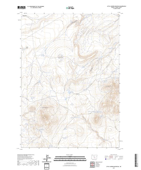
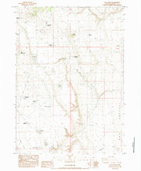
2023 Map of Little Juniper Mountain
USGS Topo · Published 2023About this map
Little Juniper Mtn serves as the focal point for this arid high-desert landscape in Harney County, where water is the primary driver of naming and development. The presence of numerous waterholes and reservoirs, such as Walters Lake Waterhole and Settlement Reservoir, underscores the vital importance of seasonal water management for grazing and land use. The terrain is marked by distinctive features like Dobie Flat and the elevations of Horsehead Mtn, connected by a network of rural routes including the Dry Valley Hwy. This area, defined by its canyons and draws like Little Tank Canyon and Wagon Draw, reflects the enduring ranching character of Eastern Oregon. Local history is etched into the landscape through family-named landmarks like Linahan Lake and Brandts Waterhole, while natural water sources like Southside Spring provide the rare points of permanence in a territory otherwise reliant on man-made reservoirs.
Find a feature on this map
43 named features on this map. Tap any name to fly to it.
Don’t see what you’re looking for? This feature index may not catch every label — zoom into the map to look around manually.
Map Details
Editions of this 2023 Little Juniper Mountain Map
This is the sole edition of this map. No revisions or reprints were ever made.
Other maps of this area

1955 · Burns
USGS Topo · 1:250,000

1958 · Burns
USGS Topo · 1:250,000

1959 · Burns
USGS Topo · 1:250,000

1980 · Wagontire Mtn West
USGS Topo · 1:24,000

1980 · Alec Butte
USGS Topo · 1:24,000

1980 · Wagontire Mtn East
USGS Topo · 1:24,000
1984 · Dry Valley Rim
USGS Topo · 1:24,000
1984 · Goose Egg Butte
USGS Topo · 1:24,000
1984 · Venator Canyon
USGS Topo · 1:24,000
1984 · Cox Canyon
USGS Topo · 1:24,000