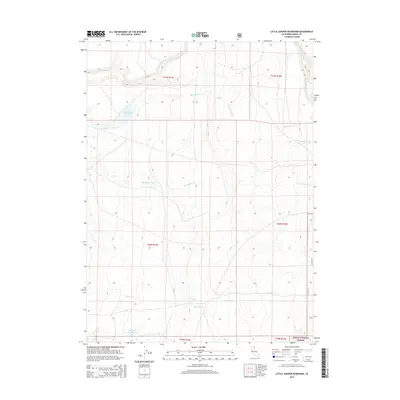
2015 Map of Little Juniper Reservoir
USGS Topo · Published 2015About this map
Modoc National Forest encompasses the high country of northeastern California, where drainage patterns define the land use and topography. The high plateaus are marked by the presence of vital water resources like Little Juniper Reservoir and the more southern Flournoy Reservoir, which serve as critical nodes in an otherwise arid landscape. Fed by seasonal flows from Little Juniper Cr and Big Juniper Cr, these reservoirs illustrate the region's historical reliance on water management for ranching and forest maintenance. Local landmarks such as Nelson Springs and the headwaters of Romero Cr provide specific points of interest for those tracing the hydrology and environmental history of this remote corner of Modoc County.
Find a feature on this map
15 named features on this map. Tap any name to fly to it.
Don’t see what you’re looking for? This feature index may not catch every label — zoom into the map to look around manually.
Map Details
Editions of this 2015 Little Juniper Reservoir Map
This is the sole edition of this map. No revisions or reprints were ever made.
Other maps of this area

1886 · Alturas
USGS Topo · 1:250,000

1892 · Alturas
USGS Topo · 1:250,000

1954 · Alturas
USGS Topo · 1:250,000

1958 · Alturas
USGS Topo · 1:250,000

1961 · Alturas
USGS Topo · 1:62,500

1962 · Alturas
USGS Topo · 1:250,000

1962 · Tule Mountain
USGS Topo · 1:24,000

1962 · Jess Valley
USGS Topo · 1:24,000

1962 · Likely
USGS Topo · 1:62,500

1963 · Little Juniper Reservoir
USGS Topo · 1:24,000