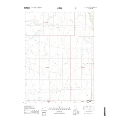
2018 Map of Little Juniper Reservoir
USGS Topo · Published 2018About this map
Modoc National Forest land defines this portion of northeastern California, where the high desert terrain is shaped by an intricate network of seasonal and perennial drainage systems. The landscape is characterized by the descent of water from higher elevations through Big Juniper Cr, Little Juniper Cr, and Fitzhugh Cr. Human presence in this remote area is concentrated around water management and transit, evidenced by the Flournoy Reservoir and the presence of Nelson Springs. Transportation is limited to local connectors like Co RD 187a and Co RD 151, which navigate the township and range divisions of the Public Land Survey System. The map reveals the ranching and resource-management footprint of the region, where named landmarks often coincide with vital water sources in an otherwise arid environment.
Find a feature on this map
16 named features on this map. Tap any name to fly to it.
Don’t see what you’re looking for? This feature index may not catch every label — zoom into the map to look around manually.
Map Details
Editions of this 2018 Little Juniper Reservoir Map
This is the sole edition of this map. No revisions or reprints were ever made.
Other maps of this area

1886 · Alturas
USGS Topo · 1:250,000

1892 · Alturas
USGS Topo · 1:250,000

1954 · Alturas
USGS Topo · 1:250,000

1958 · Alturas
USGS Topo · 1:250,000

1961 · Alturas
USGS Topo · 1:62,500

1962 · Alturas
USGS Topo · 1:250,000

1962 · Tule Mountain
USGS Topo · 1:24,000

1962 · Jess Valley
USGS Topo · 1:24,000

1962 · Likely
USGS Topo · 1:62,500

1963 · Little Juniper Reservoir
USGS Topo · 1:24,000