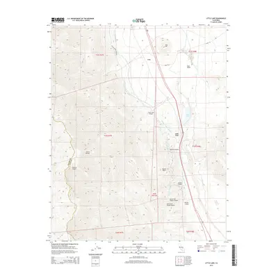
2015 Map of Little Lake
USGS Topo · Published 2015About this map
The Second Los Angeles Aqueduct and the original Los Angeles Aqueduct dominate the hydrology of this eastern California landscape, cutting through the high desert where the Sierra Nevada meets the Mojave Desert. The map centers on the small settlement of Little Lake, positioned near its namesake water body and the notable volcanic feature of Red Hill. This area is a critical corridor for infrastructure and transit, showing the convergence of engineering and geology near Rose Valley.
Find a feature on this map
27 named features on this map. Tap any name to fly to it.
Don’t see what you’re looking for? This feature index may not catch every label — zoom into the map to look around manually.
Map Details
Editions of this 2015 Little Lake Map
This is the sole edition of this map. No revisions or reprints were ever made.
Other maps of this area

1905 · Olancha
USGS Topo · 1:125,000

1906 · Kernville
USGS Topo · 1:125,000

1907 · Olancha
USGS Topo · 1:125,000

1908 · Kernville
USGS Topo · 1:125,000

1908 · Ballarat
USGS Topo · 1:250,000

1913 · Ballarat
USGS Topo · 1:250,000

1915 · Searles Lake
USGS Topo · 1:250,000

1947 · Trona
USGS Topo · 1:250,000

1948 · Trona
USGS Topo · 1:250,000

1948 · Death Valley
USGS Topo · 1:250,000