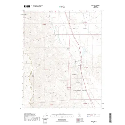
2018 Map of Little Lake
USGS Topo · Published 2018About this map
The Los Angeles Aqueduct and Second Los Angeles Aqueduct dominate the eastern corridor of this landscape, tracing a critical piece of California’s hydraulic history through the transition between the Sierra Nevada and the Mojave Desert. This 2018 survey captures the intersection of natural geologic wonders and infrastructure, where the namesake Little Lake sits at the foot of volcanic features like Red Hill and the dry cascades of Fossil Falls. The small settlement of Coso and the community at Little Lake represent sparse human outposts in an area defined by dramatic vertical relief, from the heights of Little Lake Canyon to the wide expanse of Rose Valley. Geographers and researchers can observe how modern roads like Little Lake Rd and Cinder Rd provide access to these remote desert basins and canyons.
Find a feature on this map
22 named features on this map. Tap any name to fly to it.
Don’t see what you’re looking for? This feature index may not catch every label — zoom into the map to look around manually.
Map Details
Editions of this 2018 Little Lake Map
This is the sole edition of this map. No revisions or reprints were ever made.
Other maps of this area

1905 · Olancha
USGS Topo · 1:125,000

1906 · Kernville
USGS Topo · 1:125,000

1907 · Olancha
USGS Topo · 1:125,000

1908 · Kernville
USGS Topo · 1:125,000

1908 · Ballarat
USGS Topo · 1:250,000

1913 · Ballarat
USGS Topo · 1:250,000

1915 · Searles Lake
USGS Topo · 1:250,000

1947 · Trona
USGS Topo · 1:250,000

1948 · Trona
USGS Topo · 1:250,000

1948 · Death Valley
USGS Topo · 1:250,000