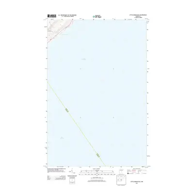
2013 Map of Little Marais OE E
USGS Topo · Published 2013About this map
Lake Superior dominates the landscape of this shoreline survey, with its deep blue expanse stretching across nearly the entire quadrangle. Along the northwestern edge, the jagged coastline of the North Shore is traced by the historic corridor of Mn-61, which follows the high ground above the water. A primary point of interest is Sugar Loaf Cove, a distinct geological feature where Sugarloaf Rd provides access to the shoreline. The map also delineates the jurisdictional boundary between Cook Co and Lake Co, which cuts diagonally across the open water. This 2013 edition illustrates the minimal development along this stretch of the Great Lakes, focusing on the essential transit route and the vast aquatic terrain of the region.
Find a feature on this map
6 named features on this map. Tap any name to fly to it.
Don’t see what you’re looking for? This feature index may not catch every label — zoom into the map to look around manually.
Map Details
Editions of this 2013 Little Marais OE E Map
This is the sole edition of this map. No revisions or reprints were ever made.
Other maps of this area

1954 · Two Harbors
USGS Topo · 1:250,000

1955 · Tofte
USGS Topo · 1:24,000

1955 · Schroeder
USGS Topo · 1:24,000

1955 · Tofte
USGS Topo · 1:62,500

1955 · Cramer
USGS Topo · 1:62,500

1956 · Little Marais
USGS Topo · 1:24,000

1956 · Finland
USGS Topo · 1:62,500

1957 · Two Harbors
USGS Topo · 1:250,000

1958 · Two Harbors
USGS Topo · 1:250,000

1964 · Two Harbors
USGS Topo · 1:250,000