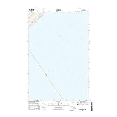
2016 Map of Little Marais OE E
USGS Topo · Published 2016About this map
Lake Superior dominates the majority of this coastal survey, where the rugged shoreline of Minnesota's North Shore is charted at a high level of detail. The landward portion in the upper-left corner reveals the residential and topographical character of the area around Sugarloaf Rd and Sunrise Dr, where the terrain rises sharply from the water's edge. The map also documents the precise administrative line dividing Cook Co and Lake Co as it extends from the shore out into the open waters of the lake. This edition focuses on the maritime boundary and the immediate coastal infrastructure of Schroeder Township during the mid-2010s.
Find a feature on this map
5 named features on this map. Tap any name to fly to it.
Don’t see what you’re looking for? This feature index may not catch every label — zoom into the map to look around manually.
Map Details
Editions of this 2016 Little Marais OE E Map
This is the sole edition of this map. No revisions or reprints were ever made.
Other maps of this area

1954 · Two Harbors
USGS Topo · 1:250,000

1955 · Tofte
USGS Topo · 1:24,000

1955 · Schroeder
USGS Topo · 1:24,000

1955 · Tofte
USGS Topo · 1:62,500

1955 · Cramer
USGS Topo · 1:62,500

1956 · Little Marais
USGS Topo · 1:24,000

1956 · Finland
USGS Topo · 1:62,500

1957 · Two Harbors
USGS Topo · 1:250,000

1958 · Two Harbors
USGS Topo · 1:250,000

1964 · Two Harbors
USGS Topo · 1:250,000