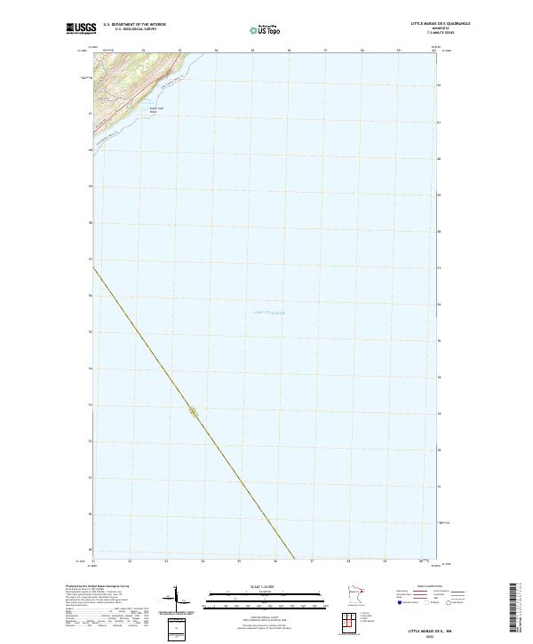
2022 Map of Little Marais OE E
USGS Topo · Published 2022About this map
Sugar Loaf Point and its adjacent Sugar Loaf Cove dominate the small terrestrial portion of this North Shore landscape. The map depicts a maritime-focused environment where the vast expanse of Lake Superior meets the rocky coastline of northeastern Minnesota. Local transportation is limited to a few residential and access routes, including Sugarloaf Rd, Sunrise Dr, and Division Rd, which serve the modest development near the shore.
Find a feature on this map
9 named features on this map. Tap any name to fly to it.
Don’t see what you’re looking for? This feature index may not catch every label — zoom into the map to look around manually.
Map Details
Editions of this 2022 Little Marais OE E Map
This is the sole edition of this map. No revisions or reprints were ever made.
Other maps of this area

1954 · Two Harbors
USGS Topo · 1:250,000

1955 · Tofte
USGS Topo · 1:24,000

1955 · Schroeder
USGS Topo · 1:24,000

1955 · Tofte
USGS Topo · 1:62,500

1955 · Cramer
USGS Topo · 1:62,500

1956 · Little Marais
USGS Topo · 1:24,000

1956 · Finland
USGS Topo · 1:62,500

1957 · Two Harbors
USGS Topo · 1:250,000

1958 · Two Harbors
USGS Topo · 1:250,000

1964 · Two Harbors
USGS Topo · 1:250,000