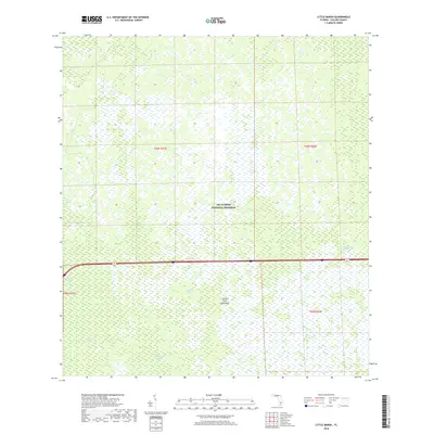
2018 Map of Little Marsh
USGS Topo · Published 2018About this map
The Big Cypress National Preserve dominates this portion of Collier County, revealing a complex subtropical drainage network characterized by strands, sloughs, and hammocks. Water flow is the defining architect of this landscape, with distinct features like Little Marsh and Mullet Slough indicating the seasonal movement of water across the Everglades ecosystem. Named cypress strands, including Harold Strand, Harrell Strand, and the Kissimmee Billy Strand, follow the natural depressions in the limestone bedrock, creating linear corridors of dense vegetation.
Find a feature on this map
16 named features on this map. Tap any name to fly to it.
Don’t see what you’re looking for? This feature index may not catch every label — zoom into the map to look around manually.
Map Details
Editions of this 2018 Little Marsh Map
This is the sole edition of this map. No revisions or reprints were ever made.
Other maps of this area

1956 · West Palm Beach
USGS Topo · 1:250,000

1957 · West Palm Beach
USGS Topo · 1:250,000

1958 · West Palm Beach
USGS Topo · 1:250,000

1958 · Sunniland
USGS Topo · 1:24,000

1959 · Miles City
USGS Topo · 1:24,000

1959 · Deep Lake
USGS Topo · 1:24,000

1974 · Immokalee 4 NW
USGS Topo · 1:24,000

1974 · Immokalee 1 SW
USGS Topo · 1:24,000

1974 · Immokalee 1 SE
USGS Topo · 1:24,000
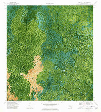
1974 · Immokalee 4 SW
USGS Topo · 1:24,000