
1974 Map of Immokalee 4 NW
USGS Topo · Published 1976About this map
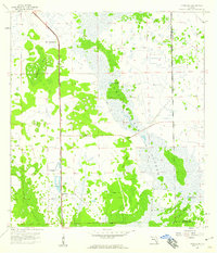
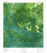
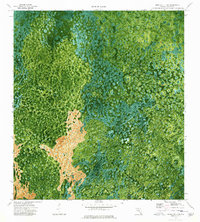
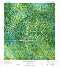
Charlie Fowl Hammock and Baxter Island emerge from the dense wetland network of Collier County in this mid-1970s orthophotomap. This specialized document combines aerial photography with topographic data, revealing the intricate texture of the Florida interior before significant modern expansion. The presence of Ten Pen Camp and Charlie Billie Camp suggests the local character of seasonal or indigenous habitations within the swampy terrain. Human infrastructure is represented by the straight line of a Pipeline and the Everglades Parkway Toll Road, which cuts a definitive horizontal path through the natural drainage patterns of Little Marsh and Mullet Slough. This map provides a clear record of the relationship between industrial transit corridors and the ancient, water-saturated landscape of South Florida.
Find a feature on this map
13 named features on this map. Tap any name to fly to it.
Don’t see what you’re looking for? This feature index may not catch every label — zoom into the map to look around manually.
Map Details
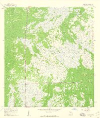
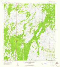
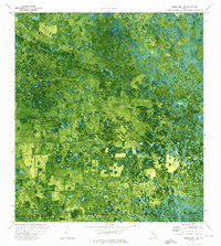
Editions of this 1974 Immokalee 4 NW Map
2 editions found

Other maps of this area

1956 · West Palm Beach
USGS Topo · 1:250,000

1957 · West Palm Beach
USGS Topo · 1:250,000

1958 · West Palm Beach
USGS Topo · 1:250,000
1958 · Sunniland
USGS Topo · 1:24,000
1959 · Miles City
USGS Topo · 1:24,000
1959 · Deep Lake
USGS Topo · 1:24,000
1974 · Immokalee 1 SW
USGS Topo · 1:24,000
1974 · Immokalee 1 SE
USGS Topo · 1:24,000
1974 · Immokalee 4 SW
USGS Topo · 1:24,000
1974 · Immokalee 4 NE
USGS Topo · 1:24,000