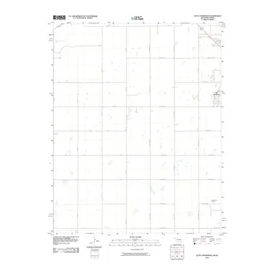
2010 Map of Little Ponderosa
USGS Topo · Published 2010About this map
Independence Cemetery sits in the southeast corner of this High Plains landscape, a quiet marker of the community's roots near the intermittent flow of Short Creek. This 2010 survey of the Oklahoma-Kansas border region showcases the characteristic section-line road grid that defines the local geography. The settlement of Little Ponderosa appears in the eastern portion of the quadrangle, serving as a focal point for the surrounding agricultural tracts. The terrain is crisscrossed by a network of rural routes including Co Hwy D and numerous numbered roads such as Hollow N1180 and Hollow E0050. The map's layout reflects the precision of the Public Land Survey System, with the landscape divided into clear quadrants that facilitate large-scale farming and land management in this border territory.
Find a feature on this map
27 named features on this map. Tap any name to fly to it.
Don’t see what you’re looking for? This feature index may not catch every label — zoom into the map to look around manually.
Map Details
Editions of this 2010 Little Ponderosa Map
This is the sole edition of this map. No revisions or reprints were ever made.
Other maps of this area

1954 · Perryton
USGS Topo · 1:250,000

1955 · Dodge City
USGS Topo · 1:250,000

1958 · Perryton
USGS Topo · 1:250,000

1958 · Dodge City
USGS Topo · 1:250,000

1959 · Dodge City
USGS Topo · 1:250,000

1967 · Adams
USGS Topo · 1:24,000

1967 · Tyrone
USGS Topo · 1:24,000

1971 · Liberal
USGS Topo · 1:24,000

1971 · Hayne
USGS Topo · 1:24,000

1973 · Little Ponderosa
USGS Topo · 1:24,000