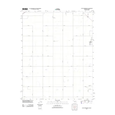
2012 Map of Little Ponderosa
USGS Topo · Published 2012About this map
Little Ponderosa sits at the heart of this rural High Plains landscape on the border of Oklahoma and Kansas. The settlement is defined by a precise grid of section roads, including Co Hwy-11 and Co Hwy-5, which facilitate movement across the agricultural terrain. Water is a scarce but defining feature, represented by the ephemeral Short Cr in the southeastern corner. For those researching local history or family ties, Independence Cem provides a significant landmark for genealogical study, located near the intersection of E0080 Rd and N1185 Rd. The map illustrates a contemporary pattern of land use where residential streets like Circle Dr and Middle Ln contrast with the expansive regional road network.
Find a feature on this map
29 named features on this map. Tap any name to fly to it.
Don’t see what you’re looking for? This feature index may not catch every label — zoom into the map to look around manually.
Map Details
Editions of this 2012 Little Ponderosa Map
This is the sole edition of this map. No revisions or reprints were ever made.
Other maps of this area

1954 · Perryton
USGS Topo · 1:250,000

1955 · Dodge City
USGS Topo · 1:250,000

1958 · Perryton
USGS Topo · 1:250,000

1958 · Dodge City
USGS Topo · 1:250,000

1959 · Dodge City
USGS Topo · 1:250,000

1967 · Adams
USGS Topo · 1:24,000

1967 · Tyrone
USGS Topo · 1:24,000

1971 · Liberal
USGS Topo · 1:24,000

1971 · Hayne
USGS Topo · 1:24,000

1973 · Little Ponderosa
USGS Topo · 1:24,000