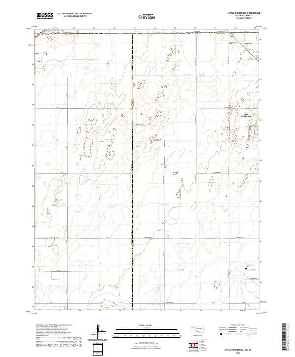
2022 Map of Little Ponderosa
USGS Topo · Published 2022About this map
Little Ponderosa sits near the intersection of the Oklahoma-Kansas state line and the border of Texas Co and Beaver Co, anchoring a landscape of High Plains townships. The terrain is marked by an extensive system of intermittent drainage features and depressions, many labeled with systematic nomenclature such as Hollow E0030 and Hollow N1180. This grid-based naming convention extends to the local road network, which is defined by a rigid section-line survey pattern including Mile 58 and ew9. For genealogists and local historians, the presence of Independence Cem in the southeastern portion of the map provides a specific point of interest for family research. The map captures the meeting of four counties—Seward Co, Texas, and Beaver—illustrating the jurisdictional boundaries and rural infrastructure that define this borderland region.
Find a feature on this map
52 named features on this map. Tap any name to fly to it.
Don’t see what you’re looking for? This feature index may not catch every label — zoom into the map to look around manually.
Map Details
Editions of this 2022 Little Ponderosa Map
This is the sole edition of this map. No revisions or reprints were ever made.
Other maps of this area

1954 · Perryton
USGS Topo · 1:250,000

1955 · Dodge City
USGS Topo · 1:250,000

1958 · Perryton
USGS Topo · 1:250,000

1958 · Dodge City
USGS Topo · 1:250,000

1959 · Dodge City
USGS Topo · 1:250,000

1967 · Adams
USGS Topo · 1:24,000

1967 · Tyrone
USGS Topo · 1:24,000

1971 · Liberal
USGS Topo · 1:24,000

1971 · Hayne
USGS Topo · 1:24,000

1973 · Little Ponderosa
USGS Topo · 1:24,000