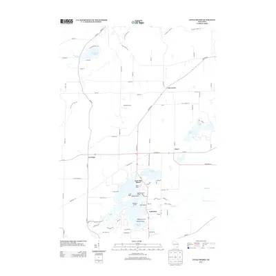
2013 Map of Little Prairie
USGS Topo · Published 2013About this map
Little Prairie and Adams serve as small inland hubs in this 2013 survey, where agricultural land meets the lake-studded landscape of southern Wisconsin. The southern portion of the map is dominated by the complex shoreline of the Lauderdale Lakes, a chain including Pleasant Lake and numerous residential points such as Tratts Point and Wolfs Point. This area reflects a long-standing transition from rural farming to seasonal and permanent lakeside living, evidenced by the clustered settlements at Lauderdale Shores and Ewings Landing.
Find a feature on this map
78 named features on this map. Tap any name to fly to it.
Don’t see what you’re looking for? This feature index may not catch every label — zoom into the map to look around manually.
Map Details
Editions of this 2013 Little Prairie Map
This is the sole edition of this map. No revisions or reprints were ever made.
Other maps of this area

1892 · Whitewater
USGS Topo · 1:62,500

1892 · Eagle
USGS Topo · 1:62,500

1893 · Delavan
USGS Topo · 1:62,500

1893 · Whitewater
USGS Topo · 1:62,500

1893 · Geneva
USGS Topo · 1:62,500

1894 · Eagle
USGS Topo · 1:62,500

1897 · Eagle
USGS Topo · 1:62,500

1903 · Whitewater
USGS Topo · 1:62,500

1904 · Lake Geneva
USGS Topo · 1:62,500

1906 · Eagle
USGS Topo · 1:62,500